

Commercial Drone
Commercial Drone & Construction Documentation in Connecticut
FAA-licensed aerial documentation for GCs, developers, and commercial property owners — not residential real estate
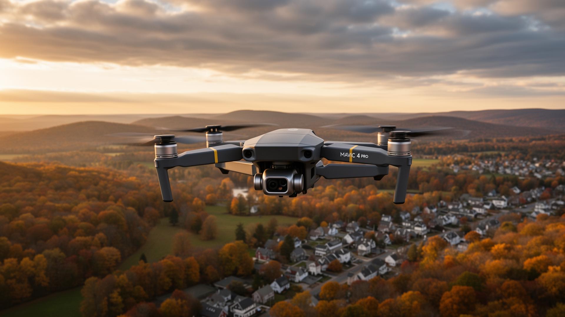
Commercial Drone & Construction Documentation
FAA-licensed aerial documentation for GCs, developers, and commercial property owners — not residential real estate
AI-narrated by Sarah · 2 parts, played seamlessly. Tap play to start.
Technology On Call provides commercial drone services and construction progress documentation across Connecticut — Granby, Simsbury, Hartford, and statewide. We work exclusively with general contractors, developers, project managers, municipal and utility clients, and commercial property owners. We do not chase $200 residential MLS shoots. That focus is intentional: commercial work demands proper insurance, FAA Part 107 compliance, repeatable shot lists across multiple visits, and deliverables a project team can actually use in OAC meetings, marketing materials, and closeout binders.
Construction progress documentation done right
Most construction projects in Connecticut are documented with someone's phone from the parking lot. That's fine for a text thread. It's not fine for an owner update, a marketing reel, or an as-built record. We fly the same site on a recurring cadence — weekly, bi-weekly, or monthly — using GPS-locked waypoints so every visit produces matching shots from the same altitude, heading, and frame. The result is a time-lapse you can actually watch the building rise in, paired with high-resolution stills your team can drop straight into reports.
For projects that need it, we also fly mapping missions that produce orthomosaics, point clouds, and elevation models suitable for as-built verification and stockpile measurement. Everything is delivered to a shared folder your whole project team can pull from.
What we deliver for commercial construction clients
Most CT commercial engagements include some combination of: recurring progress flights with matched shot lists, edited monthly highlight videos for executive updates and marketing, full time-lapse compilations at project close, high-resolution aerial stills for proposals and press releases, roof and facade inspection imagery, site context shots for permitting and community meetings, and orthomosaic mapping or 3D models when the project requires it.
On the marketing side we also produce hero aerial footage for grand openings, leasing pages, and brand reels. Everything is shot in 4K, color-graded, and delivered ready to use — no raw dumps, no '99 untitled clips in a Dropbox' handoff.
Why we don't do residential real estate (and why that's good for you)
Residential real estate drone work in Connecticut is a race to the bottom. Realtors pay $150–$250 for a quick flyover, and the providers who survive at that price are not the providers a commercial project should trust on an active jobsite. We chose to specialize: commercial and business clients only. That means proper $1M+ liability insurance, current FAA Part 107 certification, written safety briefs, airspace authorizations filed in advance, and operators who know how to behave on a hardhat site.
If you're a developer, GC, project manager, facility owner, or business that needs polished aerial documentation, you're in the right place. If you need a quick MLS shoot of a single-family home, we'll happily refer you elsewhere.
Service area for commercial drone work across Connecticut
We fly commercial drone missions across all of Connecticut — the Farmington Valley, Greater Hartford, the shoreline, Fairfield County, the Northwest Corner, and eastern CT. We also handle recurring multi-site programs for clients with portfolios across the state. Every flight is logged, insured, and operated under FAA Part 107 with airspace authorization filed where required.
Services include:
- Commercial drone services across Connecticut
- Construction progress photography & video
- Aerial construction documentation (recurring flights)
- Construction time-lapse video production
- As-built aerial mapping & orthomosaics
- Drone roof & facade inspection imagery
- Hero aerial footage for marketing & leasing
- Site context shots for permitting & community meetings
- 4K cinematic edits delivered ready to use
- FAA Part 107 licensed and fully insured
Common reasons clients call:
- "I'm documenting a commercial construction project and need real deliverables, not phone pics."
- "I need a recurring drone provider who shows up on schedule across multiple sites."
- "I want a time-lapse and matching stills for my owner updates and marketing."
- "I need aerial mapping or as-built imagery for a project closeout."
- "I need a properly insured, Part 107 pilot who behaves on a jobsite."
What you gain:
- Owner-quality progress documentation every month
- A polished time-lapse and marketing reel at project close
- Consistent, repeatable shot lists across every site visit
- Aerial mapping deliverables your engineers can actually use
From the blog
Latest articles on Drone Video
FAQ
Frequently Asked Questions
Local Pages
Commercial Drone by Town
These towns have a dedicated local page covering all our services — every other Connecticut town is served on-site or remotely.
Also serving: Farmington, Bloomfield, East Granby, Suffield, Windsor, Hartford, Glastonbury, Manchester, South Windsor, Newington, Wethersfield, Enfield, Vernon, Tolland — and every other Connecticut town. See the full service area.
Explore Other Services
IT Support & Business Technology
Friendly, responsive IT support for Connecticut small businesses — no contracts, no jargon
Local SEO, Marketing & Growth Strategy
Get found on Google by the people who are ready to buy — wherever your customers are
Web Design, Development & Business Systems
A professional website connected to the business systems behind it
AI Application Development & Automation
Smart AI solutions for real business use
Business Video Production
Brand films, executive interviews, training, and event coverage — with aerial B-roll built in
Social Media Management
Show up consistently, sound like yourself, and turn followers into customers — without it eating your week